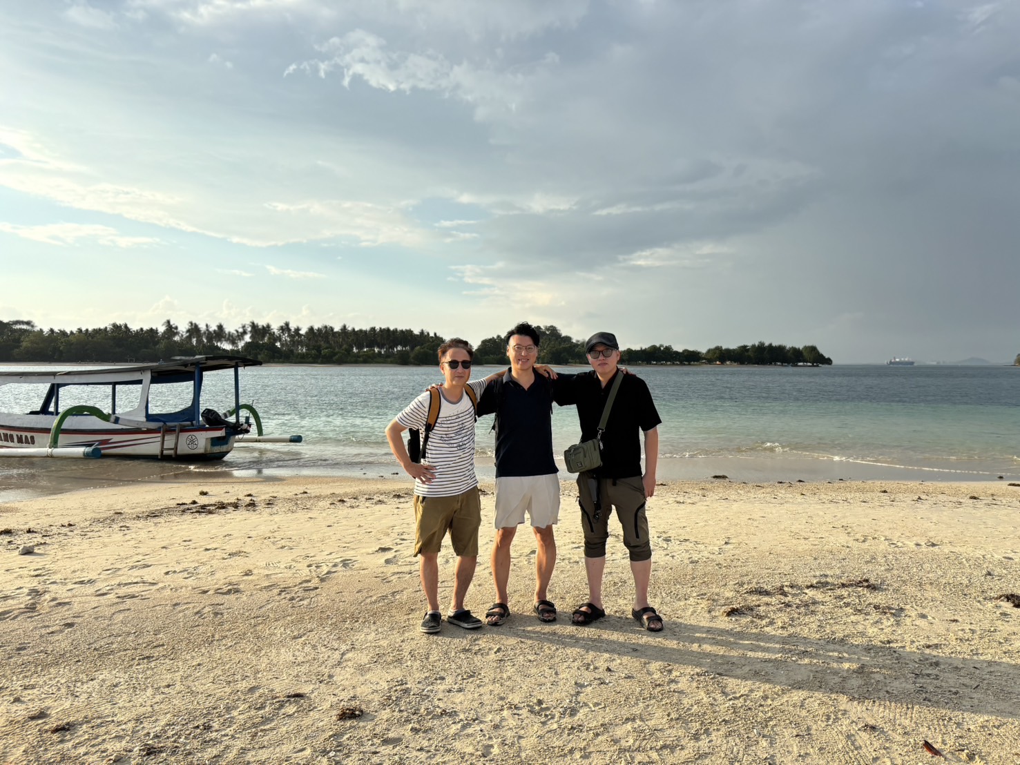
Information as of August 2026
If you searched for “Lombok map” and landed on this page, you’re probably still trying to get a mental picture of where things are on Lombok — what’s where, and how long it takes to get anywhere from the airport. This article is the “quick-reference map” for exactly that. Rather than relying on paragraphs of text, we’ve put diagrams front and center, so you can take in the island’s overall shape, its layout relative to the airport, and which port goes where, all in one glance.
Beyond that, this article doesn’t just cover “which areas are beautiful” — it also covers what you give up by choosing a given area, and how much an airport transfer actually costs. It’s written by Semelar Beach Village, which runs a beach village in Sekotong, Lombok, drawing on our own on-the-ground knowledge as a local operator.
What this article covers
- ✓Where Lombok sits within Indonesia (relative to Java and Bali)
- ✓Travel time from Lombok Airport (LOP) to the main areas, and typical transfer costs
- ✓How Mataram, Senggigi, Kuta/Mandalika, Mount Rinjani, the three Gili islands and Sekotong sit relative to each other
- ✓The main ports, and which islands or destinations each one serves
- ✓How to pick a base area by purpose, and what you trade off for each one
Where is Lombok within Indonesia?
Lombok is on the smaller side among Indonesia’s islands, sitting directly east of the well-known tourist destination of Bali. Administratively, it belongs to West Nusa Tenggara province (Nusa Tenggara Barat, NTB), whose capital is Mataram, a city in western Lombok. Between Bali and Lombok runs the Lombok Strait, the body of water that separates the two islands. West of Bali in turn comes Java, home to the capital, Jakarta.
Figure: Java, Bali, Lombok and Sumbawa in sequence
Not a precise rendering of coastlines or distances — a schematic to show the west-to-east order (as of August 2026).
East of Lombok comes Sumbawa, another island in West Nusa Tenggara province. Within the wider Indonesian map, Lombok’s place is easy to summarize: it’s “the first large island you reach if you travel east from Bali, by sea or by air.” For the specific transport options from Bali (flight, fast boat, public ferry), see our complete guide to routes from Bali to Lombok.
| Province | West Nusa Tenggara (NTB) |
|---|---|
| Provincial capital | Mataram |
| Land area | About 4,700 km² |
| Relative to Bali | Immediately east, across the Lombok Strait |
| Time zone | Central Indonesia Time (WITA, UTC+8) |
| Language | The official language is Indonesian, but the Sasak language, spoken by the island’s indigenous Sasak people, is widely used in everyday conversation |
| Currency | Indonesian rupiah (IDR) |
| Last checked | August 2026 |
Area, time zone, official language and currency are based on the official sources listed at the end of this article (confirmed as of August 2026).
Getting a feel for Lombok’s size
Before hunting for your destination on a map, it helps to get a sense of the island’s overall scale — it makes planning your movements much easier. Lombok’s land area is about 4,700 km². Its width is roughly 70–80 km in either direction, but coastal roads wind heavily around bays and headlands, with some mountain-pass stretches, so actual driving distances run considerably longer than straight-line distance. As a rough feel, think of it as “an island where it takes about two and a half to three hours by car from the airport area to the farthest area” (we’ll break down travel times in more detail in the next section).
Figure: Lombok at a glance (schematic, north at top)
●= main area ■= port ◆= airport ▲= mountain small ○= island (Gili islands). Not a precise coastline — a schematic to show relative position (as of August 2026).
The key takeaways from this map: (1) Lombok Airport (LOP) sits in the south-central part of the island; (2) resort areas split between the west coast (Mataram, Senggigi) and the south coast (Kuta, Mandalika); (3) Mount Rinjani rises in the north; (4) the three Gili islands sit off the northwest, while Sekotong and the South Gili islands are in the southwest; and (5) Kayangan port on the eastern tip has ferries to Sumbawa. We’ll look at each of these in more detail below.
POINT
Lombok has only one international airport, Lombok Airport (LOP). Both international and domestic flights all funnel through this single airport, so there’s no “which airport should I fly into” decision to make. When reading the map, this one point is the fastest anchor for judging distance.
Travel time from the airport (LOP) to the main areas
Lombok Airport’s official name is Zainuddin Abdul Madjid International Airport (IATA: LOP). It’s located in Tanak Awu, Pujut district, Central Lombok Regency, and is operated by the state airport company PT Angkasa Pura Indonesia. If you’re flying into Lombok, you’ll almost always arrive here and drive on to your area from there. For more on the airport itself, see our Lombok International Airport guide.
Figure: rough travel time from Lombok Airport (LOP) to each area
A local operator’s rough estimate based on typical dry-season, daytime road conditions (as of August 2026). Not an official statistic, and will vary with traffic and weather. For the 3 Gilis, boat time and wait time come on top of the road time.
Kuta/Mandalika is closest to the airport, and the Mount Rinjani trailhead is farthest. Routes heading “west/southwest,” like Senggigi or Sekotong, first go north toward Mataram before following the coast, so they take longer than the straight-line distance suggests. The 3 Gilis in particular are often quoted as “1.5–2 hours,” but that’s only the road portion to Bangsal port. In practice you also need to add the wait for a boat and a 15–30 minute crossing, so it’s safer to budget 2.5–3 hours total from the airport.
NOTE
The figures above are only a rough guide. Lombok’s main roads are generally single-lane in each direction, and travel time can stretch out around market days, local festivals, or during the wet season. If your travel day needs to connect with a departing flight, build in a margin. For getting around the island more broadly, see our Lombok transportation guide.
Alongside the map, there’s another thing worth keeping in mind: the cost of getting around. Lombok has almost no rail or scheduled bus service linking the airport to the various areas, so in practice your choices come down to a private car, taxi, or ride-hailing app. Distance translates directly into cost, so choosing an area farther from the airport is effectively the same as choosing higher round-trip transfer costs. We’ve laid out typical transfer prices by area in the table later in this article. For a sense of overall trip budgeting, see our Lombok cost and prices guide.
The main areas: where they are and what they’re like
From here, we’ll go through the main areas on the map one by one — covering not just the good points, but also the inconveniences you’ll run into if you actually stay there. Read with an eye toward which area fits what you’re after.
Mataram (provincial capital, west)
Mataram is the capital of West Nusa Tenggara province and the island’s largest city, on Lombok’s west coast. It’s home to banks, hospitals, big supermarkets, and the main roads linking the airport to the other areas — in short, the island’s “urban hub.” The flip side is that it’s not a beach area. If you book a stay here expecting a beach resort, you’ll be disappointed; it’s more realistic to treat Mataram as a stop for shopping, currency exchange, medical care and transit rather than a main vacation base.
Senggigi (west-coast resort area)
Following the coast north from Mataram brings you to Senggigi, Lombok’s oldest resort area. Its west-facing beaches make it well known for sunsets. It has the widest range of hotels and restaurants, and feels the most “touristy” of any area on the island. That said, your options after dark are limited — only a handful of places stay open late, so if you’re hoping for a real nightlife scene with bars and clubs, it may feel underwhelming. The sand isn’t white either; the beaches are mostly a grayish, gravelly mix. For more, see our Senggigi and Mataram area guide.
Kuta / Mandalika (south coast)
Kuta Lombok (Mandalika), on the island’s south coast, is the focus of a national government-led tourism development (a special economic zone), with a racing circuit and large resorts going up. It’s the closest beach area to the airport, and is also well known as a surfing base. On the other hand, the south coast faces the Indian Ocean, meaning waves and swells are strong, and calm swimming beaches are limited. If what you want is to float peacefully in a quiet tropical sea, the island’s west or southwest suits that better. For more, see our Kuta Lombok (Mandalika) guide.
Mount Rinjani (northern volcano)
Rising in the island’s north, Mount Rinjani is a 3,726-meter active volcano and one of Indonesia’s most iconic. Mount Rinjani National Park spans three regencies — West Lombok, Central Lombok and East Lombok (with land area split roughly 53% east, 30% west, 17% central). Trailheads are at Senaru in the north and Sembalun in the east, both reachable from the Mataram/Senggigi side or from the eastern areas. For trekking details, see our introduction to trekking Mount Rinjani.
NOTE: Mount Rinjani closes completely every January–March
The national park management office (Balai TNGR) closes all climbing routes from January 1 through March 31 every year, to prevent wet-season disasters and let the ecosystem recover. The same window applied in 2026 (January 1 – March 31, 2026). If you base yourself in the northern Senaru or eastern Sembalun area for climbing during this period, the whole point of your trip falls apart. If your travel dates fall in January–March, always check Balai TNGR’s latest notice before deciding on a base. For choosing when to go, see our best season and weather guide, and for what the wet season is actually like, our Lombok rainy season guide (confirmed as of August 2026).
The 3 Gilis (islands off the northwest)
Gili Trawangan, Gili Meno and Gili Air, floating off Lombok’s northwest coast, are popular as quiet, car-free islands. You reach them by boat from Bangsal port or Teluk Nara port on the northern coast of the main island. Having no cars is part of the charm, but it’s inconvenient too — getting around is limited to walking, bicycle, or cidomo (horse cart), and moving large luggage is a real chore. Medical facilities on the islands are basic clinics, so anything serious means transport back to the main island. For more, see our complete Gili islands guide, and for the differences between islands, our guide to getting to and enjoying Gili Trawangan and Gili Air vs. Gili Meno comparison.
Sekotong and the South Gili islands (southwest)
Sekotong, spread across the island’s southwest, is a quiet-sea area that hasn’t seen the kind of major development the 3 Gilis have. Offshore sit several small islands known as the “South Gilis” (including Gili Gede), also known as a snorkeling spot. The Pink Beach, known for its pink-tinted sand, is also in this direction. Semelar Beach Village is based here in Sekotong. For more, see our complete Sekotong guide, and for the South Gilis specifically, our guide to the South Gilis off Sekotong.
To be honest, Sekotong ranks among the least convenient areas on the island. ATMs and money changers are few, and there are no 24-hour convenience stores. Ride-hailing apps like Grab or Gojek often can’t find a driver, so getting around usually means an accommodation-arranged car. A full-service hospital means going back to Mataram. Whether you enjoy Sekotong or not tends to come down to two things: bringing enough cash, and arranging transport at least a day ahead. See also our Lombok hospitals and insurance guide for more on the medical situation.
🏝️ A note from Sekotong
Sekotong is about 1 hour 10 minutes by car from the airport, so on the map it may look “far.” Having actually lived here, we feel the quiet sea and the lack of crowds are worth that extra travel time and hassle. But that’s a conditional answer — it applies “for people who can accept some inconvenience.” (As of August 2026, from a local team member.)
Main ports and where they go
Lombok has several ports connecting it to Bali and neighboring islands. Getting confused about which port goes where on the map can cost you a lot of time, so it pays to be careful. In particular, it’s worth knowing there are two separate routes back to Bali from Lombok: the public ferry from Lembar port in the west (cheap but slow, 4–6 hours), and fast boats from Teluk Nara and Bangsal ports in the north (fast but pricier).
Figure: main ports and their destinations
Routes as confirmed as of August 2026. Port operations and schedules can change, so check the latest announcements from each port operator or local government for current details.
- Bangsal port / Teluk Nara port (both on northern Lombok): boats to Gili Trawangan, Gili Meno and Gili Air. Fast boats to Bali (Padang Bai / Serangan area) also run from Teluk Nara and Bangsal. If you want the fastest route back to Bali, these — not Lembar — are your option.
- Lembar port (western Lombok): the departure point for the public ferry to Bali’s Padang Bai port, run by the state ferry operator ASDP. At 4–6 hours it’s slow, but it’s the cheapest fare and lets you bring your vehicle aboard. For a full comparison of ways to travel from Bali, see our complete guide to routes from Bali to Lombok.
- Tembowong port (Sekotong): the departure point for boats to the South Gili islands off Sekotong (including Gili Gede), managed by the West Lombok Regency transport office.
- Kayangan port (east, Labuhan Lombok): the departure point for the public ferry linking Lombok to neighboring Sumbawa (Poto Tano port). This is your starting point if you’re heading east to Sumbawa.
Choosing your destination from the map
Based on everything above, here’s a breakdown of base areas by purpose. When choosing an area on Lombok, the real fork in the road comes down to one thing: whether you prioritize travel time and cost, or quiet. So alongside the reasons to pick each area, we’ve put travel time from the airport, typical transfer cost, the price range for lodging and food, and what you give up in exchange into the same table. A comparison table with nothing but upsides isn’t useful for actually deciding.
← Scroll the table horizontally
| Purpose / priority | Base area | Travel time from airport | Typical airport transfer (one way, private car) | Lodging / food price range | What you give up |
|---|---|---|---|---|---|
| Minimize travel time and transport cost | Kuta / Mandalika | 20–30 min | Rp150,000–250,000 (about US$8.40–14.00) | Everything from budget guesthouses to large resorts. Foreign-oriented cafes are the priciest on the island | Strong Indian Ocean swells mean few calm swimming beaches. Lots of areas still under construction, so quiet is hard to find |
| Classic resort feel, sunsets, variety of restaurants | Senggigi | 1 hr 15 min – 1 hr 30 min | Rp350,000–450,000 (about US$19.70–25.30) | Plenty of mid-range hotels. Local eateries alongside them make it easy to control your budget | Few late-night options. Sand isn’t white. Round-trip transfers cost roughly double Kuta’s |
| Island-hopping the 3 Gilis as the main focus | Staying directly on the 3 Gilis (via Bangsal / Teluk Nara ports) | 1.5–2 hrs by road + 15–30 min boat + wait time | Airport to Bangsal port: Rp450,000–600,000 (about US$25.30–33.70) + boat fare | Everything from dorms to luxury villas. As an outer island, food and drink run 10–30% pricier than the main island | No cars or motorbikes on the islands — walking, bicycle or horse cart only. Heavy luggage is a hassle. Limited medical care, serious cases go to the main island. Boats can be cancelled in rough seas |
| Quiet sea, snorkeling, an undeveloped feel | Sekotong / South Gili islands | About 1 hr 10 min | Rp450,000–600,000 (about US$25.30–33.70) | Low-to-mid price range for the island. Centered on local eateries, so food costs stay manageable | Few ATMs, money changers or medical facilities, and ride-hailing apps rarely find a driver. Bring extra cash and arrange transport a day ahead |
| Climbing Mount Rinjani | North (Senaru) or east (Sembalun) | 2.5–3 hrs | Rp700,000–900,000 (about US$39.30–50.60) | Mostly simple guesthouses for climbers, low-to-mid price range | All trails close every January 1 – March 31 (2026 included). During that window, the whole purpose of the trip falls apart, so check for the latest status. Also far from beach activities |
Transfer prices and price ranges are a local operator’s rough estimate (as of August 2026; converted at approximately US$1 ≈ Rp17,800). Actual prices vary by how you book, vehicle type and time of day. Closure information is based on Balai TNGR announcements.
Scanning down the table, you can see that distance from the airport, transfer cost, and quiet all move together in a clear trade-off. The closer an area is to the airport, the cheaper and more convenient it is — but also more crowded and more under construction. The farther away, the quieter, but round-trip transfer costs climb by several dollars and everyday infrastructure gets thinner. If you’re trying to control your budget, don’t just compare “accommodation cost” — always add in the “round-trip airport transfer cost” too. If you hop between areas one night at a time, this transfer cost recurs repeatedly over the course of your stay.
Sekotong, where we’re based, is clearly on the “far and inconvenient” side of this trade-off. We still think it’s worth choosing, because for us the quiet sea and lack of crowds outweigh the extra travel time and hassle. But that’s not a universal answer. If you’re on a short trip of a few nights and want to move around efficiently, Kuta/Mandalika or Senggigi are the honest recommendation.
FAQ
Q. Does Lombok have only one airport?
Yes. Both international and domestic flights all go through a single airport, Lombok Airport (LOP, in the south-central part of the island). The arrival airport doesn’t change depending on which area you’re headed to.
Q. Are the Gili islands part of Lombok?
The 3 Gilis (Trawangan, Meno, Air) are physically separate islands from Lombok’s main island, but administratively belong to the same West Nusa Tenggara province. They sit off the northwest of the main island, about a 15–30 minute boat ride from Bangsal or Teluk Nara port on Lombok’s north coast. Note that “Gili” is a generic Sasak word meaning “small island” — there are also islands off Sekotong known as the South Gilis.
Q. How far is it from Bali to Lombok?
By air, actual flying time is around 30 minutes. By sea, fast boats from Teluk Nara or Bangsal port in the north are the quickest option, while the public ferry between Lembar port (west) and Bali’s Padang Bai port takes 4–6 hours. For a detailed comparison, see our complete guide to routes from Bali to Lombok (as of August 2026).
Q. Can you drive around the whole island in one day?
The roads technically connect all the way around, but it’s not realistic. Even one-way, the northern and eastern areas farthest from the airport take two and a half to three hours, since most main roads are single-lane and average speeds stay low. The coast winds around bays and headlands, with some mountain passes too. Circling the whole island, even excluding breaks, would eat up a full day of driving and leave no time for sightseeing. Splitting your stay across areas as you tour around is the normal approach.
Summary: let the map settle “distance and inconvenience” first
This article walked through Lombok’s map — the layout of the airport, ports and main areas — mostly through diagrams. To recap the key points: (1) there’s a single airport, in the south-central part of the island; (2) resort areas split between the west coast (Mataram, Senggigi) and south coast (Kuta, Mandalika); (3) the 3 Gilis sit off the northwest, while Sekotong and the South Gilis are in the southwest; and (4) there are two separate routes to Bali — the cheap ferry from Lembar in the west, and the fast boats from Teluk Nara/Bangsal in the north.
Above all, the most important thing is this: choosing an area isn’t really about “which is prettiest” — it’s about settling distance, transfer cost, and how thin the local infrastructure is, first. The closer to the airport, the cheaper and more convenient; the farther away, the quieter and less convenient — map your own budget, days available, and tolerance for inconvenience onto that single axis. Once you’ve worked out roughly where your destination sits, move on to the detailed guide for whichever area caught your interest. For Lombok’s overall basics, see our complete guide to what Lombok is, getting there, climate and highlights, and for a concrete itinerary, our sample itineraries for 4 days/3 nights and 6 days/5 nights.
Related reading
- What is Lombok? A complete guide to getting there, climate and highlightsOur pillar article covering climate, safety and the island’s areas.
- Lombok cost and prices guideTypical prices for lodging, food and transport — combine it with the transfer costs in this article to build a budget.
- Lombok best season and weather guideOnce you’ve picked an area, the next question is “when to go” — dry vs. wet season in practice.
- Complete Sekotong guideThe details behind the “southwest” area shown on this article’s map.
- Sample itineraries: 4 days/3 nights and 6 days/5 nightsA reference for fitting the area you’ve chosen on the map into an actual schedule.
On the map, Sekotong sits in what looks like “a bit of a far-off area” of Lombok. As this article describes, there’s no ATM, hospital, or ride-hailing app nearby. But it’s also true that this same distance is exactly why the sea here has stayed untouched and quiet. Semelar Beach Village runs its stay program together with the people of the Sekotong village. If looking at the map made you think “I’d like to make it out there, inconvenience and all,” we’d love for you to take a look as your next step.
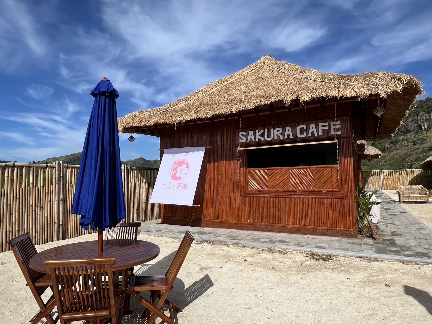
SEMELAR BEACH VILLAGE
Stay in the Sekotong village we call home
About 1 hour 10 minutes by car from Lombok International Airport. A beachfront villa, boat trips around the islands with our local boatmen, and sunset at SAKURA CAFE.
This article is written from our position as an operator of accommodation and a stay program in Sekotong, Lombok. The travel times, transfer costs and each area’s inconveniences reflect our own first-hand knowledge from getting around the island day to day. Institutional facts — area figures, administrative boundaries, national park extents, closure periods and port operations — are based on the public sources of the government bodies listed below.
Semelar Beach Village (Sekotong, Lombok)
Written and checked by the team behind Sekotong’s community and stay program, based on our own daily life and experience on the ground plus public information from government agencies (August 2026).
Sources for this article
- Confirmed by our local Sekotong team (August 2026). Travel times, transfer costs and each area’s infrastructure are first-hand information from our own local operation
- West Nusa Tenggara provincial government official site, “Profil Daerah” (capital, area, location)https://ntbprov.go.id/profil-daerah
- Indonesian Ministry of Forestry, Directorate General of Natural Resource and Ecosystem Conservation (KSDAE), Mount Rinjani National Park profile (regencies covered and land-area split)https://ksdae.kehutanan.go.id/kawasan-konservasi/100243025/
- Mount Rinjani National Park management office (Balai TNGR) notice PG.8/T.39/TU/KSA.04.01/B/12/2025 (all trails closed January 1 – March 31, 2026)https://tnrinjani.menlhk.go.id/
- Bank Indonesia, official position on the rupiah as legal tenderhttps://www.bi.go.id/
- JDIH BPK RI (national legal database), Presidential Decree No. 41 of 1987 on Indonesia’s time zoneshttps://peraturan.bpk.go.id/Home/Details/64496/keppres-no-41-tahun-1987
- Indonesian Ministry of Education and Culture, Language Development and Fostering Agency (Badan Bahasa), on Indonesian as the national languagehttps://badanbahasa.kemdikbud.go.id/
- West Lombok Regency transport office (Dishub Kabupaten Lombok Barat), Tembowong port operationshttps://dishub.lombokbaratkab.go.id/
- ASDP Indonesia Ferry (state ferry operator), Lembar and Kayangan port operationshttps://www.asdp.id/
- Lombok International Airport (Zainuddin Abdul Madjid Airport) official sitehttps://www.lombok-airport.co.id/
- Indonesian Ministry of Investment / BKPM, official information on the Mandalika special economic zonehttps://www.bkpm.go.id/
- Rupiah-to-dollar conversions in this article use an approximate market rate as of September 2026 (US$1 ≈ Rp17,800)