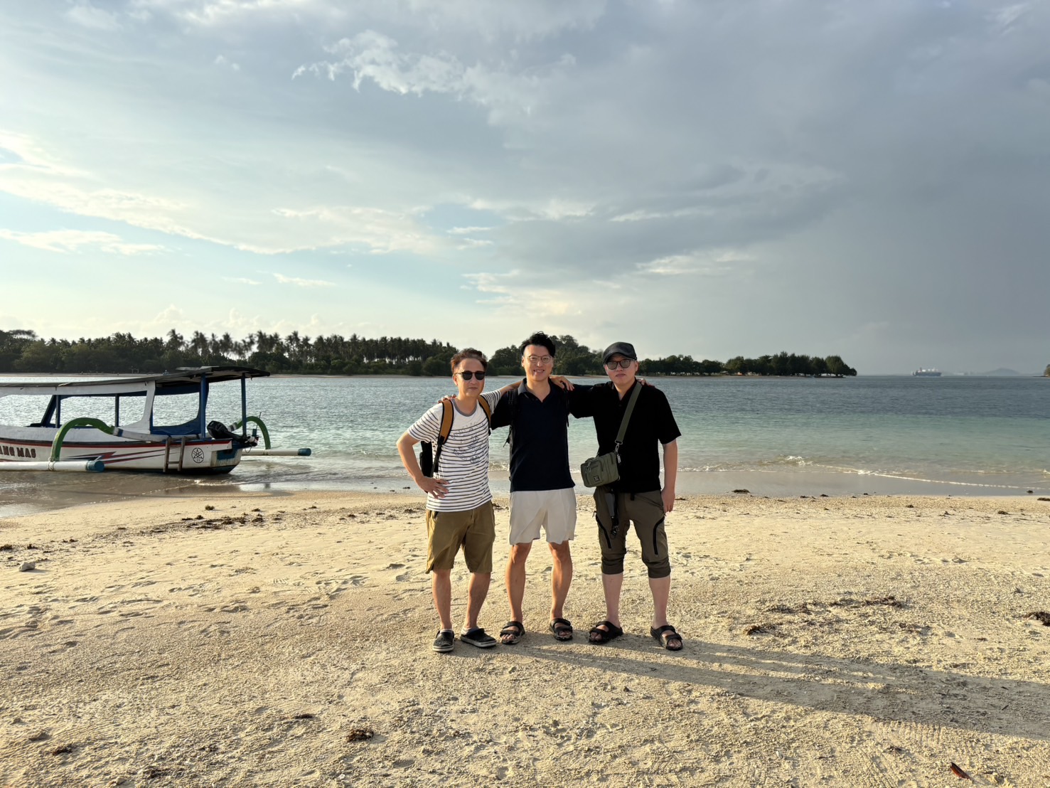
Bali and Lombok sit barely apart on a map. The strait between them is only about 30km wide, and on a clear day you can sometimes spot Lombok’s silhouette from the Bali side. Yet this narrow channel is said to carry an invisible line that splits the living world in two: the Wallace Line. Species on the Bali side tend to belong to the Asian family tree, while species on the Lombok side lean toward Australian lineages — meaning two islands that are almost within sight of each other belong, ecologically, to different worlds.
This article explains what the Wallace Line is, why the boundary is thought to run through the Lombok Strait, and what’s worth noticing as a traveler crossing the water — kept accessible rather than overly technical. It’s written for anyone curious about how Bali and Lombok differ, or who simply enjoys a bit of natural history and geography trivia. For a route comparison between Bali and Lombok, see this article, and for a broader comparison of the two islands, see this one.
For most travelers, moving between Bali and Lombok is little more than a stop on the way to the next destination, and there’s rarely a reason to think about what lies beneath that sea. But knowing about this short strait changes how the trip feels. Why does the air and scenery in Lombok feel subtly different, even though it’s the same country, Indonesia? Part of the answer is hidden in this invisible boundary.
What is the Wallace Line
The Wallace Line is a biogeographical boundary said to have been proposed by Alfred Russel Wallace, a British naturalist active in the 19th century. Wallace is also known for arriving at the theory of natural selection around the same time as Darwin. He spent years traveling across Southeast Asia, observing plants and animals and keeping detailed records. In the process, he noticed that the distribution of living things shifted sharply along a line running between Bali and Lombok, and again between Borneo and Sulawesi.
West of the line — Bali, Java, Sumatra and the rest — has deep geological ties to mainland Asia, and this is the region traditionally home to large Asian mammals such as tigers, elephants and rhinos. East of the line, starting with Lombok, species with closer ties to Australia become more prominent, including marsupials and distinctive bird species. Of course, human movement and environmental change have made the picture far less clean-cut today, but the basic idea — that living things change character across this line — remains a well-known story often told in geography and biology textbooks.
Figure: Species tendencies across the Wallace Line
Wallace is remembered for walking and sailing across Southeast Asia’s islands for years, at a time when travel and communication were far more limited than today, collecting an enormous number of specimens while building up his observations. His account of these travels was later compiled into a travelogue that is still considered essential reading on the natural history of Southeast Asia. The fact that he noticed these distribution differences while covering such a wide area, with limited maps and transport networks, is part of what makes the Wallace Line such a compelling idea.
It’s also common to view the Wallace Line not as a clean split between an “Asian side” and an “Australian side,” but as the western edge of a transition zone where traits from both sides mix. The stretch from Bali through Lombok, Sulawesi and the Lesser Sunda Islands is sometimes called “Wallacea,” and Lombok sits right at the entrance to this distinctive biogeographic zone. For travelers, exploring this region is itself a chance to experience a rare in-between zone, caught between Asia and Australia.
Why the boundary is said to run through the Lombok Strait
What’s curious is that the strait between Bali and Lombok isn’t especially wide on a map. Plenty of other island pairs sit just as close together. So why is this particular stretch of water believed to have become a dividing line for wildlife? The reason most commonly cited is the depth of the sea.
The Lombok Strait is deep, and even during past ice ages, when the Earth cooled and sea levels dropped significantly, the seabed here is not thought to have ever risen above the water to form a land bridge. West of Bali — Java, Sumatra and on to the Malay Peninsula — the seas are comparatively shallow, and during ice ages this area is believed to have become connected land, allowing animals to walk across. The Lombok Strait, being deep, never formed such a “land bridge,” so wildlife had far fewer natural opportunities to cross.
As a result, a strait only about 30km wide is said to have functioned, over geological time, as a divide as significant as crossing between continents. The strait’s depth is said to reach several hundred meters in places, and in some spots even deeper, creating a sharp contrast with the shallow seas nearby. Knowing this as a traveler makes it easier to appreciate that the water you’re casually crossing by ferry or plane is, in fact, a remarkably special boundary.
To add a bit more detail: the sea west of Bali forms part of what’s known as the Sunda Shelf, a relatively shallow continental shelf, while the shallow waters around the Australian continent to the east are known as the Sahul Shelf. Between these two shelves lies a band of deep water that includes the Lombok Strait — the part of the sea believed to have remained open water even when sea levels dropped during ice ages. Later researchers gradually revised the exact position of this boundary from where Wallace first drew it, with some proposals shifting it further east. It’s worth knowing that the line itself isn’t one perfect boundary, but more of an “approximate guide” that scholars have continued to debate and refine over time.
Differences travelers can actually notice
The Wallace Line isn’t marked at any airport, and the scenery doesn’t dramatically transform the instant you cross the strait. Still, if you pay attention, there are said to be a few moments where you can sense a difference in “tendencies” between Bali and Lombok. Pausing during your trip and giving a little extra attention to the scenery or wildlife in front of you may reveal things a textbook alone can’t show you.
Birds are one example. On the eastern islands, including Lombok, you can encounter bird species rarely seen on the Bali side, and some travelers visit specifically for birdwatching. As for vegetation, Lombok overall has a clearly defined dry season, with areas of open, savanna-like grassland and sparse trees. Compared with the lush green rice paddies of southern and central Bali, many travelers notice a difference in how dry the air feels and in the color of the land, even within the same country.
Of course, this is the result of several factors combined — climate, elevation, how much the land has been shaped by people — and the Wallace Line alone can’t fully explain it. Still, the sense of moving from “lush, humid, Asian-style green” to “dry, open scenery” is something many people report experiencing while traveling through Lombok.
When it comes to plants, compared with the humid forest trees common in Bali, Lombok’s interior and southern areas have more places dominated by drought-tolerant trees and low-growing shrubs. Depending on the season, the hills after the rainy season ends can take on a golden-to-brown hue, and from a distance you may see landscapes where only the undulating terrain stands out sharply. For eyes accustomed to Bali’s neat, green rice-terrace scenery, these dry, sweeping hills can feel refreshingly different. For more on the climate and scenery differences between Bali and Lombok, see the comparison article on both islands.
Crossing the strait as an experience
There are several ways to actually cross the Lombok Strait — fast boat, ferry or plane. If you cross by fast boat or ferry, you’ll spend anywhere from tens of minutes to a few hours actually traveling over the waters said to mark the Wallace Line. Rather than treating that time as pure downtime, try thinking, “right now, I’m crossing a boundary where the distribution of living things changes” — it can shift how the whole trip feels.
If the weather is good, just watching the color of the sea and the waves from the deck may let you notice the deep, rich blue that’s typical of such a deep strait. Because the Lombok Strait has real depth, it’s also known as a stretch of water where, with a bit of luck, you might spot marine life such as dolphins — offering more than just a transit between two points. If you fly straight across, this is harder to sense, but if you have a window seat, comparing the island scenery just before and after landing is another interesting way to pass the time.
While crossing the strait, it’s worth taking a few phone photos of the color of the sea and sky. Looking back at them later, realizing “that’s the crossing said to divide the distribution of living things” can make the memory of the trip that much more vivid.
The departure and arrival ports also each have their own atmosphere. As you move from a port on the Bali side to one on the Lombok side, you may notice gradual changes in the boats passing by, the surrounding buildings and the vegetation along the coast. Simply observing your surroundings while waiting to depart can be a small way to feel the difference between the two islands. For specific routes, travel times and fare guidance from Bali to Lombok, see the route comparison article, which is useful when weighing your options for the crossing.
Places to feel Lombok’s nature
Once you arrive in Lombok, there are several spots where you can experience nature that feels distinctly “on the other side” of the Wallace Line. Mount Rinjani, rising in the interior, is Lombok’s defining landmark — a volcano over 3,000 meters tall. The way vegetation changes from the foot of the mountain up toward the summit, along with the dry, open ridgelines, offers a very different character from Bali’s mountains. Trekking requires preparation and some physical conditioning, but the reward is a deeper encounter with the island’s natural depth. For detailed routes and plans, see the Mount Rinjani trekking guide.
The Sembalun area at the foot of Mount Rinjani is also known as a place to experience dry highland scenery. Sitting at high elevation, mornings and evenings there are cool, offering an atmosphere of open, refreshing highland air that contrasts with the image of Bali’s coastline. Even on an itinerary without trekking, simply stopping by car to take in the view gives you a real sense of Lombok’s inland character.
Next, along the southern coast of Lombok’s main island and in the southern reaches of the Gili Islands offshore, you can also enjoy the underwater world. Spots with coral reefs and colorful fish are scattered throughout the area, and getting to know Lombok’s nature from the sea via snorkeling or diving is another option worth considering. For ocean activities, see the snorkeling and diving guide.
Along the southern coastline there are also areas with a distinctive landscape of rounded, dry hills running down to the sea, offering an open, arid atmosphere quite different from Bali’s lush green coast. This string of hills is another scene that travelers have come to associate with Lombok’s dry climate. If you’d like to get a first overview of Lombok’s highlights and how to plan a trip around them, the complete guide to Lombok Island is also a useful resource.
Frequently asked questions
Does the Wallace Line only run between Bali and Lombok?
No — the Wallace Line covers a much wider stretch, and it’s also said to pass between Borneo and Sulawesi, among other places. The strait between Bali and Lombok is known as one of the few sections along that line where travelers can actually experience the crossing firsthand. It’s a distance you can cover casually by ferry or fast boat, yet in biogeographical terms it marks a hugely significant boundary — making this crossing a genuinely unique stage for travel, even by global standards.
Are Bali and Lombok’s species still clearly divided today?
The general tendency is still noted today, but in modern times, human and cargo movement and the introduction of non-native species mean the division is no longer as clean-cut as it once was. Many living things — crops, livestock, pets and more — have been carried across islands by human hands over the years, so it can be hard to judge based on visible distribution alone. It’s best understood as a broad “tendency” rather than a strict rule.
What can travelers do to enjoy the Wallace Line while on the trip?
No special preparation is needed. Simply observing the scenery and the color of the sea while crossing the strait, or comparing Lombok’s dry landscape with Bali’s lush green scenery, is enough to enjoy it. Just keeping the term “Wallace Line” and the rough reason behind it in mind beforehand can change how you take in what you see on the ground. If you’re interested in birds or plants, joining a local guided tour can help you learn even more.
In summary
Bali and Lombok are neighboring islands separated by only about 30km on a map. Even so, the strait between them is said to carry the Wallace Line, a boundary that splits the living world — and the sea’s depth, a matter of geology, is thought to have preserved each island’s distinct character to this day. The boundary that one 19th-century naturalist noticed remains one of the few geographic stories that travelers can still cross and see for themselves today.
Simply knowing this story as a traveler should change how you see the sea from the ferry deck, and how you experience Lombok’s dry landscapes. The next time you cross from Bali to Lombok, look out over the deck or the window and imagine that you’re crossing a boundary between living worlds that stretches from Asia to Australia. Right next door to Bali, yet quietly connected to another world — that’s one of the things that makes Lombok such an interesting island.
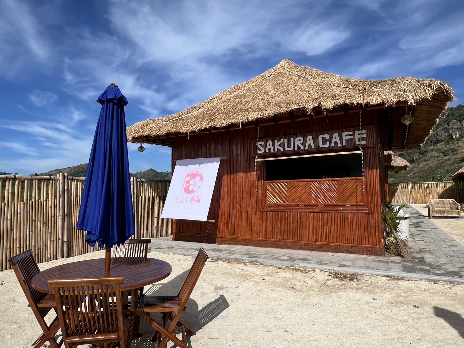
SEMELAR BEACH VILLAGE
Stay in the Sekotong village we call home
About 1 hour 10 minutes by car from Lombok International Airport. Stay in a beachfront villa, tour the islands by local boat, and watch the sunset at SAKURA CAFE.